Maps, Images, other graphic
materials for SARS 523
Multilingual Education in South and Southeast Asia
Maps of South Asia
- Map of the Indo-Aryan
Linguistic Area
- Map of India
- Map of India in
1785.
- Map of India in
1857 just before the "Mutiny".
- Map of Indian "princely states" at
Independence. Light areas are "British India" (under direct control of Britain), while
darker areas are the princely states, with internal self-rule, but pledging fealty to the
"King-Emperor".
- Map of Indian
languages.
- Maps of South Asia other than India: Pakistan, Sri Lanka, Nepal,
Afghanistan.
- Map of
Dravidian language area.
- Map of Karnataka
- Map of Kerala
- Map of Tamilnadu
- Map of Pondichery
Maps of Southeast Asia
- A large directory of
Ethnolinguistic Maps.
- Overview
map (political) of Southeast Asia.
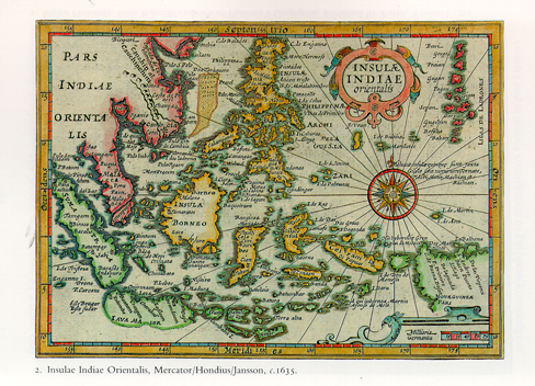
- Antique Map of South East Asia
- Map of Southeast Asia
under colonialism.
Key: Red = British, Green = Dutch, Brown = French, Gold = American,
Yellow = not under any colonial power.
- Map of Southeast Asia
today.
- Map of Thailand and its
neighbors
- Map of Indonesia.
- Map of Malaysia.