|
|
Charting the Indian Ocean from Zanzibar to Sumatra
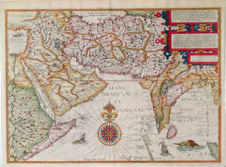
E. Jan Huygen van Linschoten (1563-1610 C.E.)Linschoten left his home in Holland in 1576 and went to Lisbon, where he got a position as secretary to the new archbishop of Goa. In 1583, accompanying the archbishop to Goa, he was able to observe Portuguese trading posts, the local people, and the commodities available. He also had access to information about Portuguese activities elsewhere in Asia. In 1596, back in Holland, he published his Itinerario, which had navigational, cartographic, and ethnographic content. He included several beautifully engraved foldout maps: a world map in two hemispheres, the Molucca Islands, and the whole of East Asia, including Japan. The English edition came out in 1598 and his book, reprinted and translated many times, had an enormous impact, especially on the English and the Dutch, both of whom soon formed East India companies.

Introduction | Ptolemy | Maps | Linschoten | Arabic | Chinese | Glossary | Libraries | Readings | Links
The web sites include links to sites outside the control of the authors. The authors are not responsible for information on these or other such linked sites. Please respect the copyright notices attached to the Web Sites you view.
© 2002 Penelope Campbell. All rights reserved.